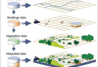
Spatial Information Systems are designed to enhance creative visualization by mapping text objects, design requirements, etc. in two-dimensional planes and then using knowledge processing tools to provide a statistical analysis of available data.

Users are also given the option to select an area of this space and to create a new space from the Principal Components Analysis. For example, these systems can be used to browse various research papers to find the occurrence of a certain keyword and to use Principal Components Analysis to display the keywords and their mutual relationship on a common two-dimensional space.


